The Brooklyn Skyline’s Drastic Changes, Visualized
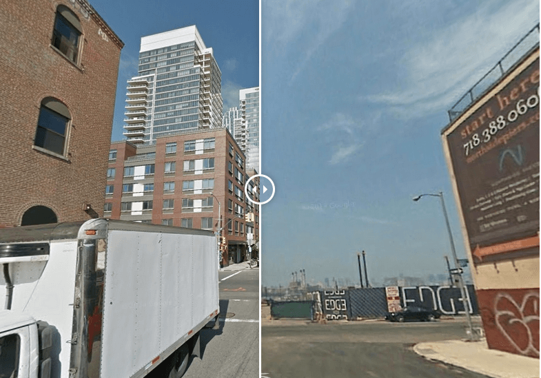
388 Bridge Street, Downtown Brooklyn, in 2014 (left) and 2007 (right). Via RentCafe
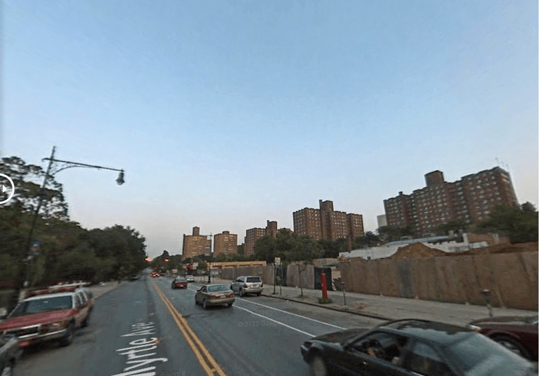
With the influx of condo developments and big retail chains, it can be hard to remember what the pre-mall-ified Brooklyn of yesteryear actually looked like. Before Whole Foods came along and former governor Eliot Spitzer plotted to colonize it with an empire of “molded icebergs,” the Williamsburg Waterfront, for example, was a mostly industrial wasteland peppered with DIY venues. By juxtaposing Google Street View images of the borough’s most rapidly developing neighborhoods from 2007 and 2014, RentCafe has created an interactive timelapse that visualizes just how much taller, shinier, and less affordable Brooklyn has become in the past decade.
When you slide your mouse over the images, giant skyscrapers replace small family businesses and vacant lots in the blink of an eye. Here, some before and after Street View shots from 2007 and 2014.
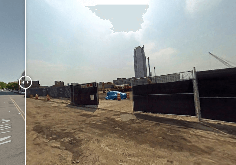
Williamsburg Waterfront, 2007
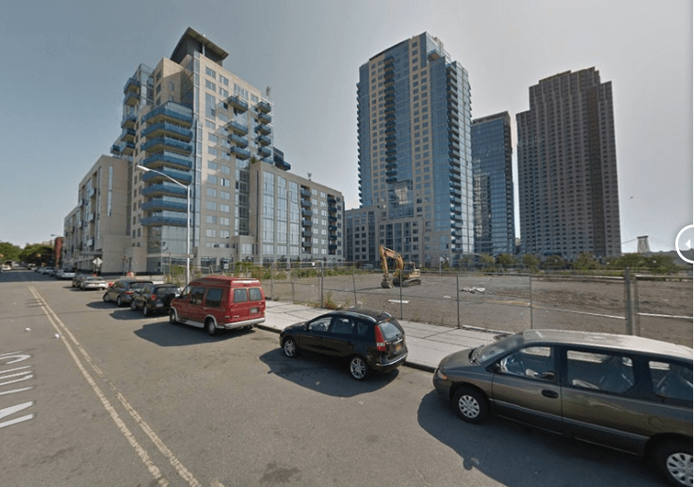
Williamsburg Waterfront, 2014
Williamsburg Waterfront, 2014/2007. One and Two Northside Piers, 30-story condo complexes, were built by the Toll Brothers.
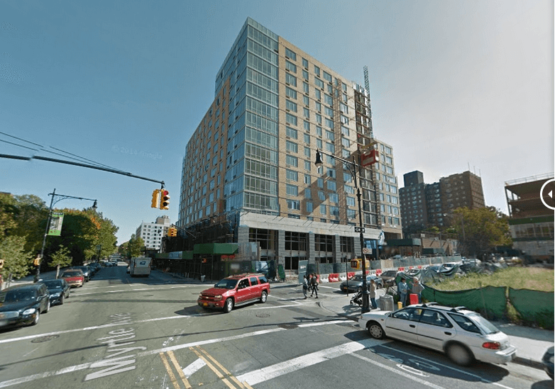
Downtown Brooklyn, 81 Fleet Place, 2007
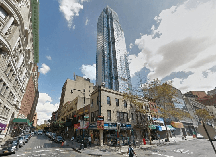
Downtown Brooklyn, 81 Fleet Place, 2014. A four-building development including the apartment complex The Giovanni opened in 2010.
Head to RentCafe to see the full interactive visualization.