Here are Thousands of Historical Photos of New York City, All on One Interactive Map
In a city transforming at the speed of light, nostalgia for an older New York, death knells for Brooklyn, and trepidation at creeping change in the outer boroughs is widespread. As Adam Gopnik writes in Through the Children’s Gate: A Home in New York, “The [mental] map of the city we carried just five years ago hardly corresponds to the city we know today, while the New Yorks we knew before that are buried completely.”
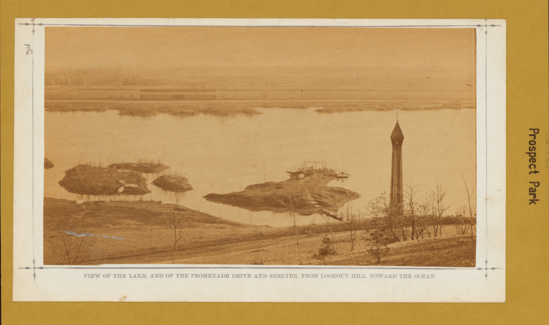
While it’s impossible to excavate these New Yorks of yesteryear from the dense layers of history on every street, Old NYC, an incredible new interactive photo map, comes close, letting you virtually time travel around your own particular borough, neighborhood, and city block. It’s a digital collage of the New York Public Library’s “Photographic Views of New York City: 1870s-1970s Collection,” which includes over 80,000 historic images of the ever-changing five boroughs.
The creators of the site geocoded the images in this vast trove, identifying the latitudes and longitudes at which they were taken, which allowed them to pin them to clickable points on a New York City map. You can find work by famous photographers like Berenice Abbott, Alexander Alland, and A. Tennyson Beals in the collection, but a whopping 30,000 of these images were shot by Long Island-based commercial photographer Percy Loomis Sperr, commissioned by the library to document changes in the city from the late 1920s to the early 1940s.
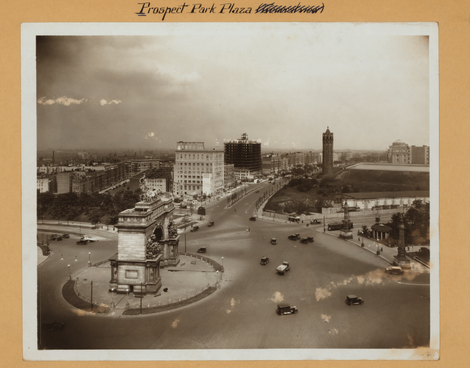
Some of the photos are remarkably contemporary-looking: If you blurred out the old-timey cars, a shot of Prospect Park Plaza in 1926 looks like it was taken today and slapped with a grainy black-and-white Instagram filter. But other locations are unrecognizable, scenes from a seemingly mythical lost city: in 1922, what’s now JFK Airport was a quaint little country house. Other photos document massive historic shifts in the city’s infrastructure: The Brooklyn Bridge under construction in 1879, the Williamsburg Bridge under construction in 1903.
Old images of neighborhoods currently undergoing rapid gentrification reminds us they’ve never been static: Eastern Parkway and Franklin Avenue, in Crown Heights, now home to a shiny new Starbucks, was practically rural a century ago.
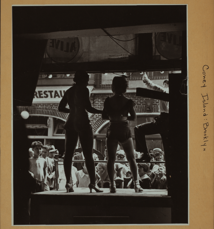
Coney Island – Brooklyn. 1939: “The ‘rear end’ of a side show, where sex is used to attract the young as well as the old.”
History nerds risk losing hours in these digital wormholes. And those who worry about ye olde Breukelen getting swallowed in a tidal wave of Starbucks coffee might take comfort in knowing it’s so extensively documented and virtually browsable.
Find historic photos of your own neighborhood by browsing the site here.
All photos via NYPL.