Where in Brooklyn Do Republicans Live?

Just like in the country at large, Brooklyn’s GOP is concentrated in the South. A map released by WNYC this week breaks the city into election districts, and colors them a shade of purple that deepens as the percentage of registered Republicans increases. Perhaps unsurprisingly, almost all of north, central, and east Brooklyn are lily white on this map, with percentages that rarely crack five, if that. (The small exceptions are Orthodox Jewish pockets—south of Eastern Parkway in Crown Heights, just north of Flushing in Williamsburg—where percentages can crack 10 percent.)
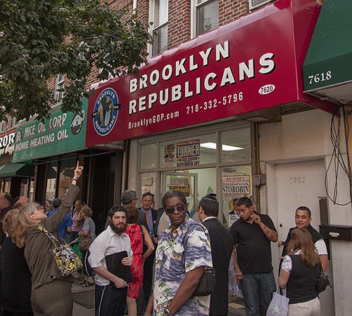
But then you get south of the cemetery, and the map starts to get a very pale pink; it deepens to rose in Borough Park, and gets full-on purple in parts of Bay Ridge and Dyker Heights, with registration approaching though not crossing the 50 percent mark. (The only few districts within city limits with a majority of registered Republicans are in Staten Island—except there’s one registered voter in Prospect Park, who’s a Republican, making it 100 percent conservative.) Moving east, purple pockets also pop up in Brighton Beach, Gerritsen Beach, Mill Basin, and Bergen Beach. You’re in Marty Golden–Bob Turner–David Storobin country now. A rough boundary contains the borough’s right-leaning districts: south on Coney Island Avenue from Prospect Park, east on Avenue H, south on Flatbush Avenue, east on Flatlands Avenue. Consider it our Mason-Dixon zigzag.
Follow Henry Stewart on Twitter @henrycstewart
[photo]
You might also like 


