This Map of New York City’s Dollar Vans Is Long Overdue
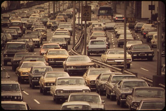
If you’ve ever walked down Flatbush Avenue, then you know the telltale clownish honking sound that means a dollar van is approaching. The dollar vans—an informal network of thirteen-seat buses that operate in areas of New York largely unserviced by public transportation—are periodically under scrutiny by the NYPD and the Taxi and Limousine Commission. Since they are largely unregulated, there is no way to learn about their routes except from people who drive or ride the dollar vans. Until now.
In an investigative project for the New Yorker, journalist Aaron Reiss created the first interactive, extensive map of the dollar van networks that run in New York City. Through videos and interviews with drivers, Reiss looks at each of the major lines: the vans that run from Manhattan’s Chinatown to the ones in Elmhurst, Flushing, and Sunset Park, the ones that run down the length of Flatbush Avenue, the vans in Eastern Queens, and a network of mini-buses that connects Eastern New Jersey with the Port Authority station. Reiss traces the routes on each section, though he notes that they “change slightly from day to day owing to needs of passengers, road maintenance, or the caprice of drivers.”
The shadow transit system was borne out of necessity after a 1980 transit strike, but its operation fills the voids that the MTA doesn’t cover. The vans are also cheap—usually the fare is $2—and, because they’re small and nimble, can better operate in times of crisis or subway outage. Perhaps the most striking part of Reiss’ project is just how wide the network of vans is, and how many different groups of people use them regularly to commute to work. It’s an interesting look at a side of New York that Manhattan dwellers rarely think about. Go check it out.